
 Spanish
 English
 Galician
 Catalan
 Basque
 French
Hydrological correction and flood control measures in the Cobatillas ravine (Murcia and San Javier municipalities)
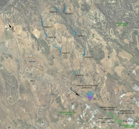
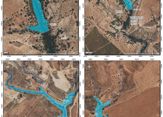
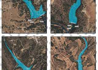
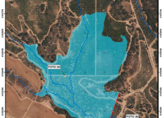
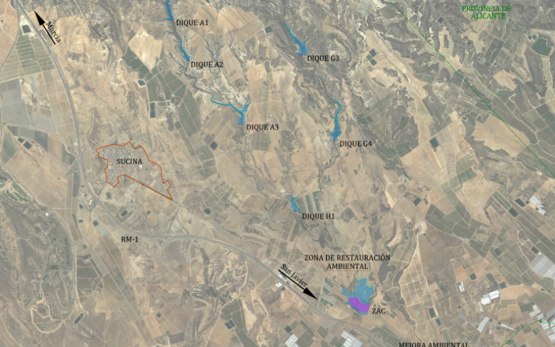
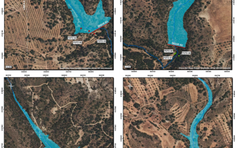
With the aim of preventing flooding in the urban areas of the municipalities of San Javier and Murcia, work is planned for the upper and middle reaches of the Cobatillas ravine sub-basin. This will involve hydrological regulation of the basin, stabilization of torrential channels, and control of severe erosion. The project includes the construction of eight flood control and hydrological correction dams on the tributaries of the Cobatillas ravine, the construction of a flood control zone (which will help to mitigate flooding and retain sediment), the environmental restoration of this zone, and the repair of three existing dams downstream. The total water storage capacity of all these measures is 21.8 hm³, reducing water erosion and, consequently, sediment runoff into the Mar Menor lagoon by approximately 25%.
The project completed the Environmental Impact Assessment (EIA) process in January 2024, with the formulation of the Industrial Impact Assessment (IIA). Subsequently, the procedures for classifying the rolling mill zones according to their potential risk of breakage were carried out.
→Latest developments:
The tender for the works was published in December 2025. It is currently in the bid evaluation phase.
Entidad responsable
Segura River Basin Authority
Presupuesto del proyecto
15,9 M€Superficie
49,13 ha